It’s origins lie in an Indian trail which ran along the shores of Lake Michigan, then, west through present day Milwaukee, across Menominee River, and into the western wilderness.
In 1836, the Territorial government of Wisconsin ordered a survey of the land so that they could build a military road to Blue Mounds, a small settlement in Dane County. They thought that it was most logical to build on the already worn path.
In 1840, the road was extended to Fort Shelby, later renamed Fort Crawford, in Prairie du Chien.
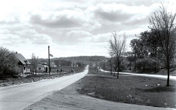
Bluemound's highest popularity was in the Roaring Twenties (1920) due to its status as open of the first divided, paved four-lane highway.
Because of its high importance to Wisconsin officials in traveling between Madison and Milwaukee, state funds were concentrated more toward this road and thus it was in better shape than many other Wisconsin roads.
Today, it is one of the only highways better known by its name than its number, Highway 18.